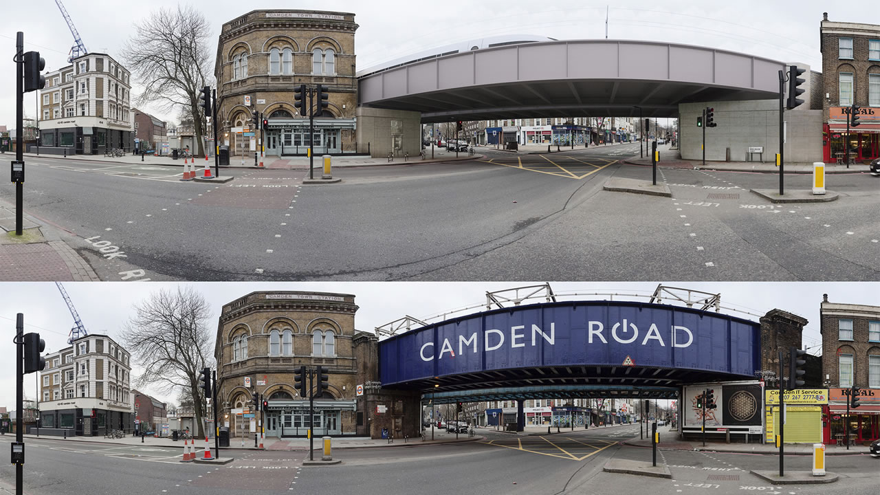
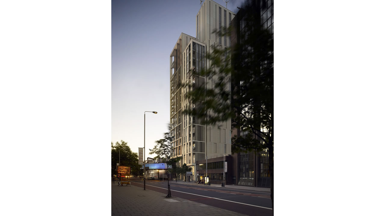
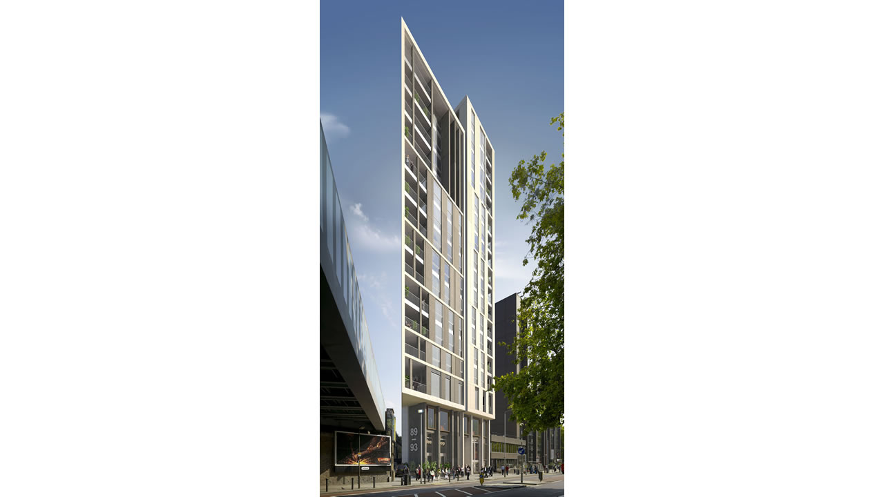
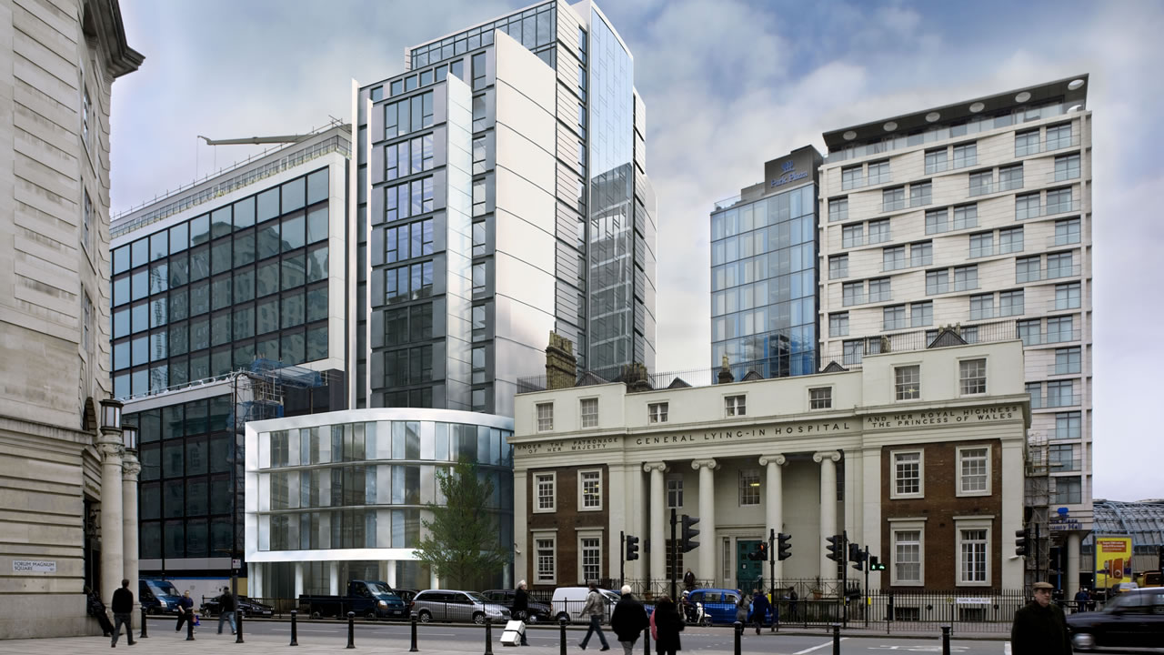
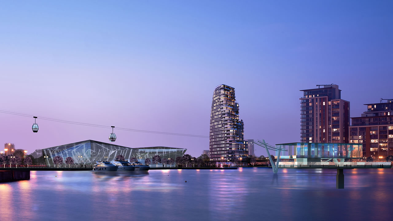
A verified view is a highly precise architectural visualisation method used to support planning applications. Using this methodology, CGI renderings are merged with photography to show proposed structures in exact scale and position within the existing landscape.
For sensitive planning applications, you may need to show your development in context of a photograph.
Using real world survey and scanning techniques we can demonstrate, with accuracy the images in your submission.